Suriname
River
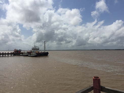
At the heart of Paramaribo, the
capital of Suriname, is the Suriname River. This 480 kilometer river is
the most important river in Suriname with the majority of the country's
imports and exports entering the country by traveling up the river to the
ports at Paramaribo, Paranam and Smalkalden. Such is the width and depth
of the river that large container ships travel up the river to the ports.
The Suriname River starts in the Guiana Highlands as the Gran Rio and
flows through the country, at Nieuw Amsterdam (not to be confused with the
town in Guyana, also called New Amsterdam) it is joined by the Commewijne
River and then flows on to the Atlantic Ocean.
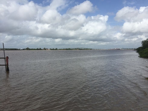
In addition to its role as a shipping lane, the Suriname River is a vital
communication artery for parts of Suriname and an area of relaxation. Near
Domburg, an artificial white sand beach has been created along the
Suriname River and is appropriately called White Beach. The water
alongside this beach has been protected with nets to allow swimming in the
piranha-infested waters. Recreational facilities have also been created in
this area, making White Beach a popular weekend recreation location for
Surinamese.
The areas around the upper Suriname River are truly areas to be visited by
the adventure seeker. This area is the home of the Saamaka, or Saramacca,
who are the Maroons that escaped from slavery hundreds of years ago and
made the area their home. As a result of the isolation of the area they
retained much of their original African culture. Living in small riverside
settlements in wood and palm frond houses, in their smoky villages they
maintain a traditional culture that is steeped in animism and
ancestor worship.
Suriname Waterfalls
Between 90 – 95% of Suriname is covered with forest and
natural savanna and most of this habitat is virgin. This natural landscape
gives rise to major rivers and many rapids and waterfalls.
Among the many waterfalls in Suriname is the Raleighvallen, known in
English as the Raleigh Falls. Located in the Upper Coppename River, which is
one of the last uninhabited rivers on earth, the Raleighvallen together with
Voltzberg contain an area of approximately 78,000 hectares. In December
2000, the Raleigh Falls and Voltzberg were placed on the UNESCO World
Heritage List. This is a great bird watching area with 350 bird species
having been spotted in this area. While visiting the Raleigh Falls it is
also possible to visit a Marron village and meet the Witagron Kwinties. In
1684 the Kwinties negotiated a peace treaty with Governor Van Aerssen of
Sommelsdijck. The Kwinti’s live on the Coppename River and their language is
spoken by fewer than 1000 people. Kwinti is a creole language based on
English, with French and other influences.
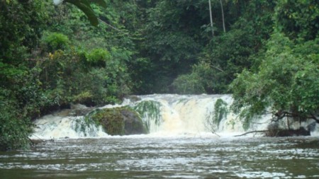
300 kilometers from Paramaribo lie the Blanch Marie
Falls, which are a popular tourist destination because it can be reached
by car using the Southern East-West Link. The Blanch Marievallen, located on
the Nickerie River, is one of the largest waterfalls in Suriname. Discovered
in 1897 by Corstiaan van Drimmelen, who was the district commissioner of
Nickerie, the falls are named after his wife. Extending over 120 meters
across the falls are an impressive sight. In the area around the Blanch
Marie Falls are eight species of monkeys and over 200 bird species. Usually
included in any visit to the Blanche Marie Falls is a side trip to the
smaller El Dorado Falls.
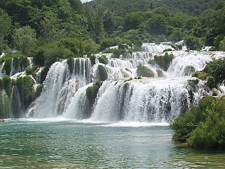
The largest waterfall in Suriname is the
Wonotobo Falls. These falls can really
be considered a waterfall complex as they contain
several falls such as the Blue Crane Falls, the Hollander Falls, the
Frenchman Falls and the 3 kilometer long Wonotobo Falls. The area
surrounding the Wonotobo Waterfall belongs to the
Trio Amerindians who are the native inhabitants of Suriname. The
falls are 400 kilometers upstream on the Corentyne River in the border
between Suriname and Guyana.
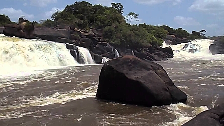
Situated on the Kabalebo River, the Avanavero
Waterfalls are 375 kilometers southwest of Paramaribo in Sipaliwini,
Suriname and along the route are
three Indian villages (Pikin Saron, Alfonsdorp and Joseph Village) and a
maroon village (Witagron). The drive to this area is best done by 4
wheeled drive vehicles and along the way the route may be blocked by fallen
trees that would have to be cut by chainsaw in order for you to proceed. A
short distance from the falls is an ancient Petroglyph. This waterfall is
also known as
Great Falls and Val Avanavero.
Another of Suriname's waterfalls is Maopityan Falls which is on the
Courantyne River, Suriname, approximately 245 km south of Orealla.
To learn more about Suriname, see our other Suriname Pages